Code
Edge-detection using the elevation map
This repository performs segmentation of convex patches and detection of edges based on the input elevation map: https://github.com/ori-drs/plane_seg
Jet-Leg
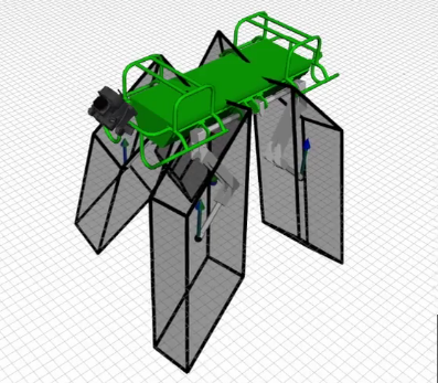
This is an open-source python package that shows how to compute the feasible region, i.e. the extension of the well known support region to include joint-torque limits constraints of legged robots: https://github.com/orsoromeo/jet-leg
Locomotion-Viewer
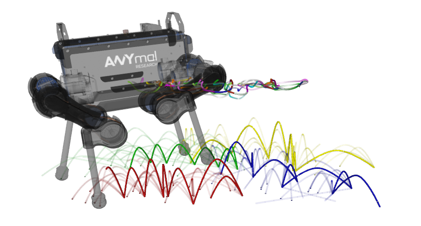
a Rviz tool for visualizing locomotion-related geometric objects such as waypoint markers, trajectories, 2D support regions and 3D feasibility constraints: https://github.com/iit-DLSLab/locomotion-viewer/


